St. Peter's Island, Switzerland, Sept 14, 2013
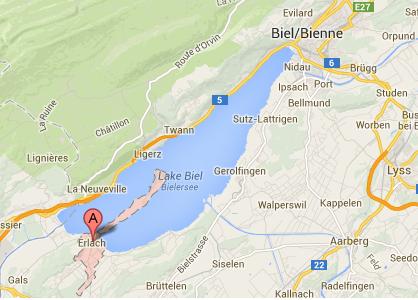
IntroOne of the places that our boat stopped yesterday was St. Peter's Island, or St. Petersinsel, or Ile Saint-Pierre. This used to be an island. But many years ago, the powers that be accomplished an amazing feat: they got the agreement of 5 different Swiss cantons (provinces) to accomplish the Jura Waterway Correction, which consisted of a series of canals (some of which we rode through yesterday) that evened out the levels of the three lakes and a few rivers. Now, when the river Aare floods, it can pour into Lake Biel (normally, Lake Biel flows into the Aare). The correction lowered the level of Lake Biel, so that the island now is a peninsula. Where it used to be a marsh, it is now really good farmland. And there is now a trail from the town of Erlach to the peak of what is still called St. Peter's Island. (That would be the same Peter who was one of the disciples of Jesus.) This is a popular trail - it is even advertised as wheelchair-friendly. Unless you actually go to the top of the little mountain (as Stephen did), your elevation profile is perfectly flat. Because the trail is well used, it is quite smooth. While I wouldn't want to self-propel a wheelchair on it, there were several stroller-pushers today, in addition to the bicyclists, equestrians, and walkers. There was even a car - as mentioned above, there are now farms, and the farmers need chariots to get groceries and stuff. For a bit of context, I now provide a couple of maps. First is a Google Map showing Lake Biel, Erlach (where we parked), and the peninsula.
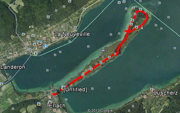
And a Google Earth view of our hike, which was close to 12 kms in length.
|
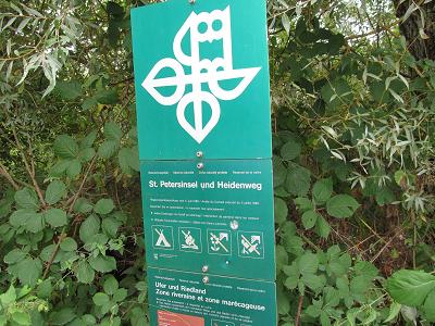
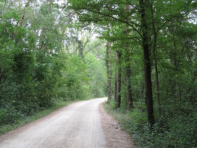
The hikeThe sign at the beginning of the trail. The trail to what used to be an island is called the Heidenweg, and what used to be the island is still called St. Petersinsel.
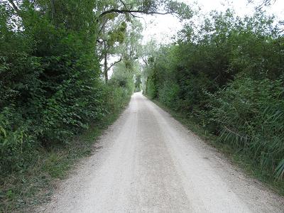
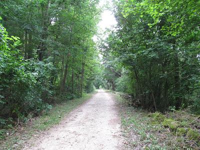
A few shots of the trail. Easy walking, not a lot of variety. But the closer I got to the car, the happier my knees were!
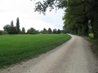
This trail view also shows one of the farms.
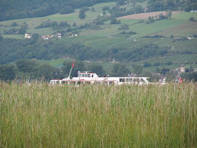
Shortly after we started, we realized that 24 hours earlier, our boat had landed at the port of Erlach. And here it was again, the good ship Petersinsel.
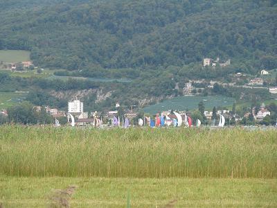
Off in the distance, towards the town of La Neuveville, we saw a bunch of sailboats. We saw lots of sailboats today. The wind was probably just right for them.
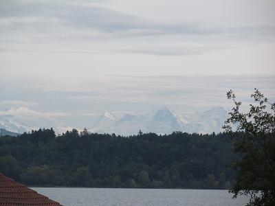
Off in the distance, we could see the Alps. A clear blue sky might have made this a prettier photo. But it is still the Alps!
|
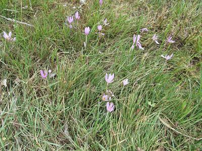
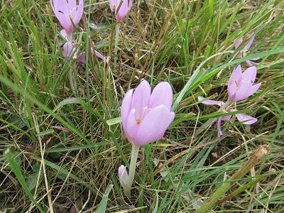
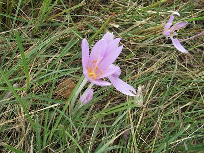
Flora and FaunaFirst, the flora. These sure look like crocuses, but not quite, and it's the wrong season. You might compare them to the photo that I have as the background for this webpage, of a genuine Nose Hill crocus.
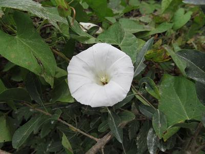
And this looks like a morning glory.
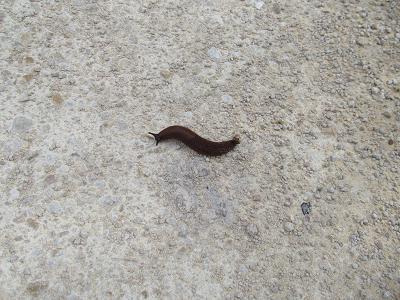
Now some fauna. First, a slug about 4" long.
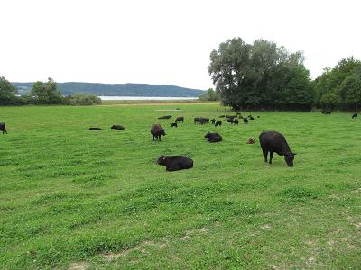
Scottish Black Angus cows that are naturally hornless.
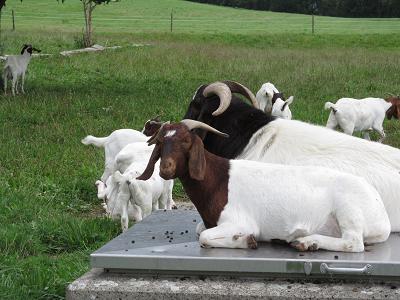
South African goats.
|
|
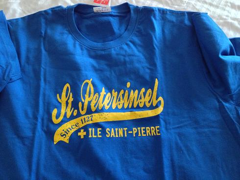
As mentioned above, after 12 kms, my knees were really glad that the hike was over. But, thanks to a gift store near the "island", I can now say that I've been there, done that, and got the (tri-lingual) T-shirt.
|